A deeper dive into Geotab's knowledge base
Geotab maintains a knowledge base which includes valuable articles and detailed information for all users, covering diverse hardware and software topics.
By Geotab
Dec 22, 2023

As important as software training is, it’s just as important to ensure that the tools needed are easily accessible. Geotab maintains a solid knowledge base that’s comprised of valuable articles and detailed information for all users, covering diverse hardware and software topics. The articles have been written to provide tips, tricks, general information, and the specifics needed for interpreting data.
Check out these important Geotab resources:
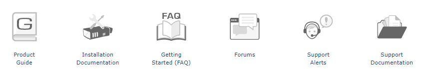
The Support section at Geotab.com contains links to the Product Guide, installation documentation, our Getting Started Guide, Forums, support alerts, and support documentation.
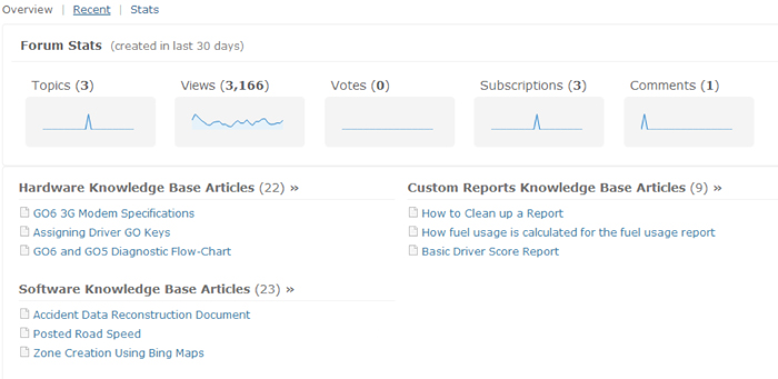
Upon clicking on the appropriate section, visitors to the site will be able to see all the articles available to them. Geotab works diligently to maintain the knowledge base by ensuring the information is up-to-date and that new articles are being added frequently.
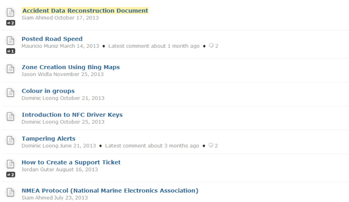
These articles can help users better understand how to use the data at their disposal. For example, in the Software Knowledge Base, there is an article called “Accident Data Reconstruction Document”. This was created with a real life accident example to help someone unfamiliar with the MyGeotab software understand where they need to go to decipher the data and determine a possible cause of an accident.
Geotab support (oftentimes referred to as just “GeoSupport”) understands the importance of providing its everyday end users with training, in addition to the tools needed to help individuals be able to train themselves…. no matter the level of expertise or experience.
For more insight, please check out our support section by clicking here.
Subscribe to get industry tips and insights
Geotab team
Subscribe to get industry tips and insights
Related posts

Building a proactive government fleet safety program with data and AI
March 9, 2026
5 minute read

How to stop wasting mechanic hours on ‘ghost codes’ and low-priority repairs
February 2, 2026
2 minute read


Telematics trends for 2026: What is changing and how fleets can respond
January 30, 2026
6 minute read
Fleet GPS tracking systems cost: Full price breakdown and ways to boost ROI
January 30, 2026
6 minute read

Fleet operations: Key components, benefits and challenges
January 7, 2026
4 minute read