All
Sticker MPG vs measured MPG during winter months
The GO device runs several validation algorithms prior to reporting fuel to ensure that the most accurate source is utilized. Read more about the MPG report.
March 30, 2015
2 minute read

Why competing AND cooperating is the future
Broad acceptance of telematics solutions by consumers and commercial fleets alike have put the industry on a steep growth trajectory. As an industry leader, Geotab is committed to growth through innovation and competition.
March 24, 2015
1 minute read
Rolling out large fleets with Geotab GO devices
Have you considered all the factors for your large fleet roll out with Geotab GO devices? Learn how to plan, manage and monitor your project the right way.
March 19, 2015
3 minute read

A telematics 2020 vision enables you to see clearly
Implementing telematics for your business growth means staying focused on your 5 year business plan and tapping into the potential of the rich data that is available.
March 16, 2015
4 minute read

Geotab & Red Hawk win Connected World Silver Award
Geotab and Red Hawk Fire & Security were named as a silver award winner at the 2015 Connected World Awards Gala.
March 2, 2015
1 minute read
The 2G migration in fleet management
AT&T expects to fully discontinue service on 2G networks.
February 2, 2015
3 minute read
Road speeds: How to use and change them
Posted road speeds can be used to create custom speeding rules and generate exception reports, allowing you to take corrective actions.
January 29, 2015
3 minute read
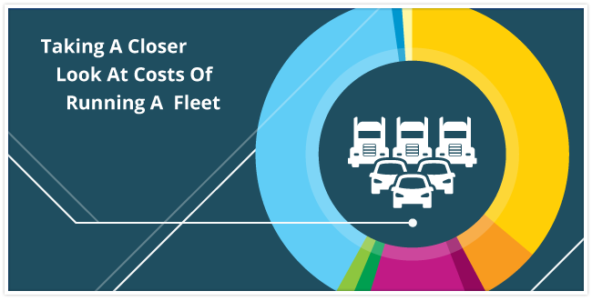
Taking a close look at the costs of running a fleet
This infographic represents some of the main costs that fleets face. Telematics can be used to help fleets obtain the highest ROI.
January 20, 2015
1 minute read

Learn how to customize the watchdog report
How do you know which ones are having communication problems? The watchdog report helps you identify the subset of vehicles which are not communicating.
January 16, 2015
2 minute read
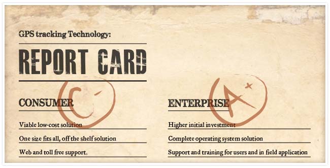
Cost of ownership: Consumer vs. enterprise devices
GPS tracking technology has become a key performance tool for measuring and managing fleets around the world.
January 12, 2015
2 minute read
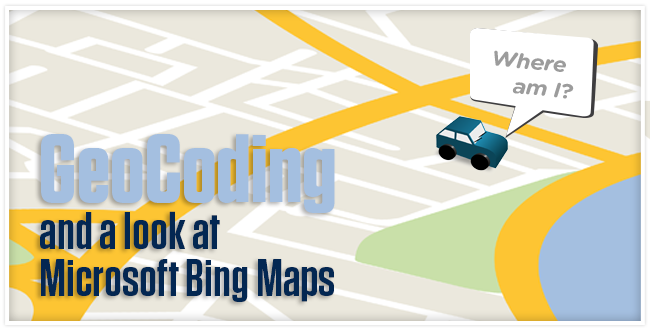
Geocoding and a look at Microsoft Bing maps
Online mapping is a highly competitive, rapidly evolving area. Not all mapping providers are equivalent. Each has its own strengths and weaknesses.
January 9, 2015
2 minute read
/mygeotab_data.png)
Better practices for the MyGeotab API
The MyGeotab SDK is a powerful way to integrate other systems with MyGeotab data.
January 6, 2015
2 minute read


