Collision reconstruction with telematics data
Collision reconstruction is the process of using telematics data to understand the events that occurred before, during, and after a collision.
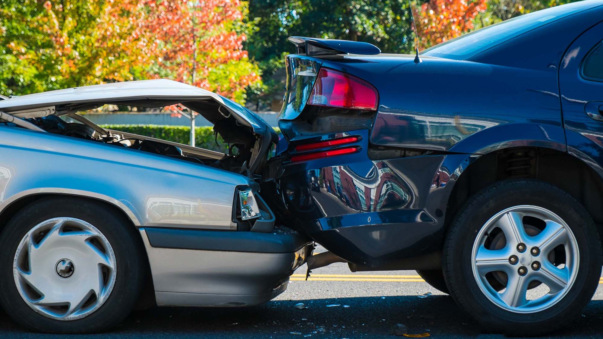
When a vehicle collision occurs, it’s important for fleet managers to know what happened and why. Gathering information about the collision is vital for insurance, driver training and potential litigation. Collision reconstruction with telematics can help with this.
What is collision reconstruction?
Collision reconstruction with telematics is the process of using GPS fleet tracking technology and software to understand the events that occurred before, during and after a collision.
Telematics data is highly valuable for management because it provides an accurate scientific record of events. It makes it possible to go beyond word-of-mouth testimony. The granularity of the data can tell you many things about a collision. As well, telematics makes it possible to gain a broader perspective on the event by looking at the historical patterns for a specific driver or vehicle.
Geotab Collision Reconstruction Add-In
The Collision Reconstruction Add-In for MyGeotab is a free Marketplace solution for viewing, analyzing and interpreting collision data from Geotab GO tracking devices. To learn more, go to marketplace.geotab.com.
In MyGeotab, users can access a number of different types of data that are critical to collision reconstruction, including Trips History, Collision and Log Data, Speed Profile, and Accelerometer and RPM graphs. By reviewing and analyzing this data, you can verify the events of the collision.
Download the white paper
Geotab has produced a white paper that outlines more about the process, including:
- How collision detection works
- How to analyze and interpret collision data on MyGeotab
- First steps to take when a collision occurs
Read the full white paper to learn more. View now
About Geotab Marketplace
Connect the things that matter to your business and achieve your goals with access to the largest telematics ecosystem of integrated Geotab and third-party hardware and software solutions. By partnering with other industry leaders, Marketplace gives you the power of choice by offering a rich compliment to the Geotab platform. No matter the size or type, there is something for every fleet with the 200+ available Marketplace solutions.
Subscribe to get industry tips and insights
The Geotab Team write about company news.
Table of Contents
Subscribe to get industry tips and insights
Related posts


How a well-built fleet safety culture prevents legal trouble
March 28, 2025
5 minute read

Driver behavior monitoring systems: Fleet managers’ guide for top tools + implementation tips
March 27, 2025
7 minute read
DOT tire regulations: Fleet safety best practices + checklist
March 27, 2025
5 minute read
How AI-based in-cab video can lower fleet insurance costs and improve safety
March 24, 2025
3 minute read
Geotab’s new fleet Sustainability Center simplifies fuel and emissions reduction
March 3, 2025
3 minute read