Geotab: Enhancing public safety with data-driven policing

Key Insights
- Discover how Geotab's public safety software optimizes police fleet performance and reduces operational costs through near real-time vehicle tracking and data analytics
- Find out how Geotab can help improve community protection and response times by enabling faster dispatch, optimized patrol routes and monitoring of high-value assets
- Learn how Geotab prioritizes officer safety and well-being through vehicle diagnostics, prioritizing maintenance and fleet health.
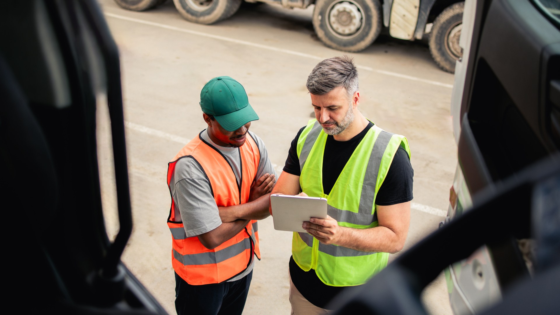
In today's data-driven world, law enforcement agencies are constantly seeking ways to optimize their operations, improve officer safety and enhance community protection. Geotab, a global leader in public safety software solutions, offers a powerful platform that delivers significant value to police departments by enabling data-driven decision-making and streamlining fleet management.
Geotab's value proposition for law enforcement
Geotab's public safety software solution provides a comprehensive suite of tools designed specifically for the needs of law enforcement agencies. By integrating quality vehicle data, including engine diagnostics and behavior with advanced data analytics and AI, Geotab empowers police departments to gain near real-time visibility into their fleet operations and make data-driven decisions that improve efficiency, safety and community protection.
Enhancing fleet performance and efficiency
Geotab's public safety software platform provides a wealth of data that can be harnessed to optimize police fleet performance and reduce operational costs. Vehicle maintenance is vital for promoting safety, reliability, and cost-effectiveness. Regular upkeep helps prevent breakdowns, extend vehicle lifespans and contributes to a positive user experience, especially crucial for shared fleets where consistent performance is essential. Prioritizing maintenance also helps departments avoid costly repairs and maintain compliance with regulations. Additionally, Geotab's data analytics tools can be used to analyze driving patterns, identify aggressive driving behaviors and provide targeted training to officers, ultimately reducing collision potential, lowering maintenance expenses and minimizing fuel consumption.
Improving community protection and response times
Geotab's public safety software solution plays a crucial role in enhancing community protection by enabling faster response times to emergencies, optimizing patrol routes and improving the overall efficiency of police operations. Furthermore, Geotab can be used to monitor the locations of high-value assets, such as generators and lights, helping protect them against theft or loss.
Prioritizing officer safety and well-being
The safety of police officers is paramount, and Geotab's public safety software solution plays a vital role in promoting their well-being. By monitoring vehicle diagnostics, Geotab's system can identify potential maintenance issues before they become major problems, reducing the risk of breakdowns and collisions. Additionally, Geotab can be used to track officer vehicle and peripheral status, like lights and sirens or gun rack positions, providing near real-time situational awareness and enabling more rapid response in case of emergencies.
Geotab: Maximizing value through data-driven policing
Geotab's public safety software platform is not just a tool for improving fleet management; it's a cornerstone of the digital transformation of policing. By integrating public safety software data with other law enforcement systems, such as crime databases and dispatch platforms, police departments can gain a holistic view of their operations and make more informed decisions. This data-driven approach to policing can lead to improved crime prevention strategies, enhanced resource allocation and increased transparency and accountability, ultimately maximizing the value of departments’ investments.
Conclusion
Geotab is revolutionizing the way police departments manage their fleets and serve their communities. By providing near real-time insights into driver behavior and engine health, creating greater situational awareness, Geotab empowers police forces to optimize fleet performance, improve officer safety and streamline operations. As technology continues to evolve, Geotab will play an even greater role in the future of policing, enabling data-driven decision-making, enhancing community protection and keeping police officers safer.
Key value drivers of Geotab for law enforcement:
- Cost savings: Reduced fuel consumption, lower maintenance expenses and minimized collisions contribute to significant cost savings.
- Enhanced efficiency: Optimized fleet operations, streamlined workflows and improved resource allocation enhance overall efficiency.
- Improved safety: Collision detection/reconstruction and predictive insights help departments enhance officer and community safety.
- Data-driven decisions: Comprehensive data analysis and integration with other systems promote informed decision-making.
Geotab: Your partner in smarter public safety management
Geotab is committed to providing law enforcement agencies with the tools and technology they need to better protect their communities, optimize their resources and prioritize officer well-being. By partnering with Geotab, police departments can embrace the digital transformation of policing and leverage data-driven insights to build safer, more efficient and more accountable police forces.
Subscribe to get industry tips and insights
The Geotab Team write about company news.
Table of Contents
Subscribe to get industry tips and insights
Related posts
Building a world-class driver training program: Essential strategies for truckload carriers
April 15, 2025
4 minute read
Marketplace Spotlight: From Chaos to Clarity, Innovating Fleet Claims with Xtract
April 15, 2025
1 minute read

Embracing public safety technologies in the face of opposition
April 15, 2025
4 minute read

Unlocking Safer Roads: How Behavioral Science and Technology Are Improving Driver Safety
April 14, 2025
2 minute read

What is government fleet management software and how is it used?
April 10, 2025
3 minute read

Beyond the road: Enhancing school bus interior safety with advanced technology
April 10, 2025
5 minute read