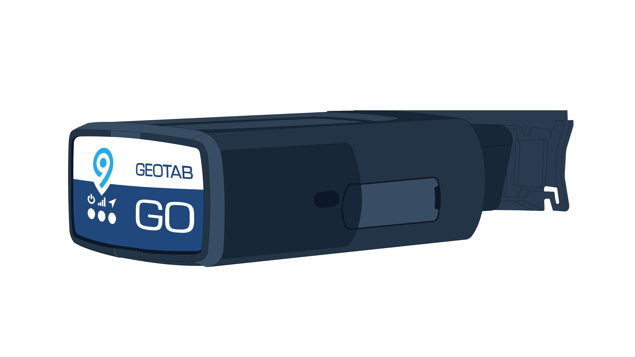
Tour the new Geotab GO9 features
The new Geotab GO9 is power-packed with hardware innovations. Read more about the device upgrades such as the new 3D gyroscope.

The Geotab GO9 might be smaller than a deck of cards, but it is power-packed with the latest fleet tracking technology. We’ve added a number of innovations to make this telematics device the most powerful one yet. Take a tour of some of the great new Geotab GO9 features that are designed to help you reduce fleet costs, increase productivity and efficiency, improve safety and strengthen compliance.
New gyroscope and improved accelerometer
Driver safety is a top priority for many fleets. With that in mind, we upgraded the Geotab GO9 to allow even better data collection of aggressive driving and collision-type events.
The Geotab GO9 can sense the vehicle’s orientation in real-time with the new addition of a 3D gyroscope and 3-axis auto-calibrating accelerometer.
Benefits include:
- Improved harsh braking detection
- Improved acceleration data
- Improved accident data
- Advanced analysis of angular velocity
What is a gyroscope and why did we add it? We’re glad you asked! A gyroscope is a spinning disk set on an axle. Drones, helicopters, ships and even NASA spacecrafts use gyroscopes to assist with positioning and navigation.
Accelerometers measure acceleration and are common features in consumer electronics. For example, your smartphone uses an accelerometer for the compass and auto-rotate function. A 3-axis accelerometer can measure motions going left/right, forward/backward and up/down (on the X, Y and Z-axis).
Geotab’s GO devices have made use of accelerometers for years to measure a vehicle’s acceleration and braking to understand everything from driving behavior to accident reconstruction. The GO9 takes this functionality a step even further with the addition of the gyroscope.
See also: A first look at the Geotab GO9

New global navigation satellite GNSS module
The GO9 has been outfitted with a GNSS module to support GLONASS and GPS. The increased number of visible satellites improves location accuracy, speeds up latch time (time-to-first-fix) and boosts data availability. In the rare event that a satellite system fails or, if a line of sight is obstructed, our GNSS receivers can pick up signals from other systems.
GNSS is the Global Navigation Satellite System, made up of a network of satellites from different regions, including U.S. NAVSTAR Global Positioning System (GPS), Russia’s GLONASS, Galileo from Europe, and China’s BeiDou satellite system. GNSS provides geospatial positioning and timing on a global scale, essential to navigation and location tracking in industries such as automotive, shipping and delivery, and many others.
Read more about GPS satellites in this post by our technical services engineer.

Over-the-air updates
If you have a fleet of 10 or maybe thousands of vehicles in the field, how do you keep the devices updated? Don’t worry! Geotab GO device over-the-air (OTA) support means that the updates are automatic. Firmware updates for maintenance, new features or custom applications are securely delivered wirelessly to the device. Turning features on or off can also be done over-the-air.
While not new to the GO series, over-the-air updates have been improved and are an important benefit and convenience for fleets that want to spend less time on device management and more time focused on getting business done.
Increased code space and speed
Processing speed and memory are two of the biggest factors that can impact — or limit — the capabilities of a digital device.
Speed affects how well the device can process complex calculations and manage tasks effectively.
Memory impacts how much can actually be stored on a device. Anyone who has ever struggled with managing apps on their smartphone knows the importance of memory. That’s why when it came to the GO9, we made sure the device has enough room and processing power to support additional features and functions as they emerge.
The Geotab GO9 introduces a 32-bit ARM microcontroller with an expanded feature set, making it the most powerful GO device to date. The GO9’s program memory is also four times larger than that of previous versions. This extra memory provides substantially more code space for additional device functionality.
Finally, we increased the Random Access Memory (RAM) on the GO9 fivefold. RAM temporarily stores data, serving as the working memory. It allows a device to work with more information at the same time, which can have a considerable effect on system performance and capability.
Set up and ready to GO
The Geotab GO9 has introduced a brand new provisioning process to minimize the risks associated with devices running outdated firmware. The most up-to-date firmware and configuration are applied at the time of installation.
Provisioning is the process of making sure a device has the appropriate firmware, updates, customized settings, security and other out-of-box features so that it is available for use.
GO9 provisioning is very simple. Once the device is connected to the vehicle, receiving power, and connected to the cellular network, the provisioning process begins almost immediately. See the full installation instructions here.
Geotab’s GO9 is built to support your fleet now and also as it grows. Request a demo at geotab.com.
Related:
Geotab achieves FIPS 140-2 validation for GO devices
Subscribe to get industry tips and insights
The Geotab Team write about company news.
Table of Contents
Subscribe to get industry tips and insights
Related posts

Ultimate heavy equipment transport guide: Top tips and systems for fleets
April 21, 2025
6 minute read

Ultimate field service management software guide [benefits + options]
April 21, 2025
5 minute read

Building a world-class driver training program: Essential strategies for truckload carriers
April 15, 2025
4 minute read

Marketplace Spotlight: From Chaos to Clarity, Innovating Fleet Claims with Xtract
April 15, 2025
1 minute read

Embracing public safety technologies in the face of opposition
April 15, 2025
4 minute read

What is government fleet management software and how is it used?
April 10, 2025
3 minute read