
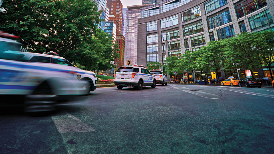
Police fleet management software
Protect your officers, enhance accountability and optimize vehicle maintenance with Geotab’s end-to-end software for police and first responders.
Police fleet management software that drives greater safety and savings
Enhance officer protection
Keep officers safer with solutions that simplify fleet coordination and the retention of data-driven evidence.
- Protect officers by viewing all your vehicles’ locations and dispatching backup based on proximity
- Back up claims with context that supports footage captured by dash and body-worn cameras
- Reduce unsafe driving behaviors and collision risk with AI-enabled predictive insights

Improve operational transparency
Enhance accountability by using fleet insights to increase visibility into policing operations and identify areas for improvement.
- Track near real-time vehicle locations to increase officer presence in under-patrolled areas
- Improve community safety by studying and limiting unsafe driving behaviors in your fleet
- Serve the public more effectively with data that enhances operational efficiency

Boost situational awareness
Use detailed insights about your police fleet to make strategic operational decisions that are grounded in data.
- Improve operational agility with accurate data to direct resources more effectively
- Gain deeper insight into field operations and police vehicle activities on demand
- Pull unsafe vehicles off the road quickly with near real-time alerts on engine faults and other diagnostic issues

Reduce budget costs
Use taxpayer funds wisely by reducing operational costs in key areas like vehicle maintenance, fuel consumption and fleet utilization.
- Extend vehicle longevity and prevent costlier repairs with predictive maintenance reminders
- Reduce expensive driving behaviors that burn excessive fuel, such as speeding and idling
- Improve utilization by identifying underused police vehicles, equalizing usage and right-sizing your fleet

Additional public safety solutions from Geotab
Blog
Enhance fire department fleet management
Improve emergency response, vehicle maintenance and safety with Geotab’s solution for firefighting operations.

Case Study
Optimize ambulance fleet management
Reach patients in need faster and take better care of your ambulances using Geotab’s software for EMS teams.
Ebook
Data-driven policing: Leveraging telematics for optimized police fleet performance
Explore how telematics insights can help your fleet reach its full potential in our data-driven policing guide. Read this ebook to uncover strategies for getting the most out of your police fleet, enhancing officer safety and providing better service to your community.
Trusted by state and municipal government customers

Belleville Police Service: Cutting-edge tech for departmental accountability
Belleville Police Service Police choose Geotab's telematics solution to improve safety, efficiency and accountability.
Utah police optimizes their fleet with Geotab
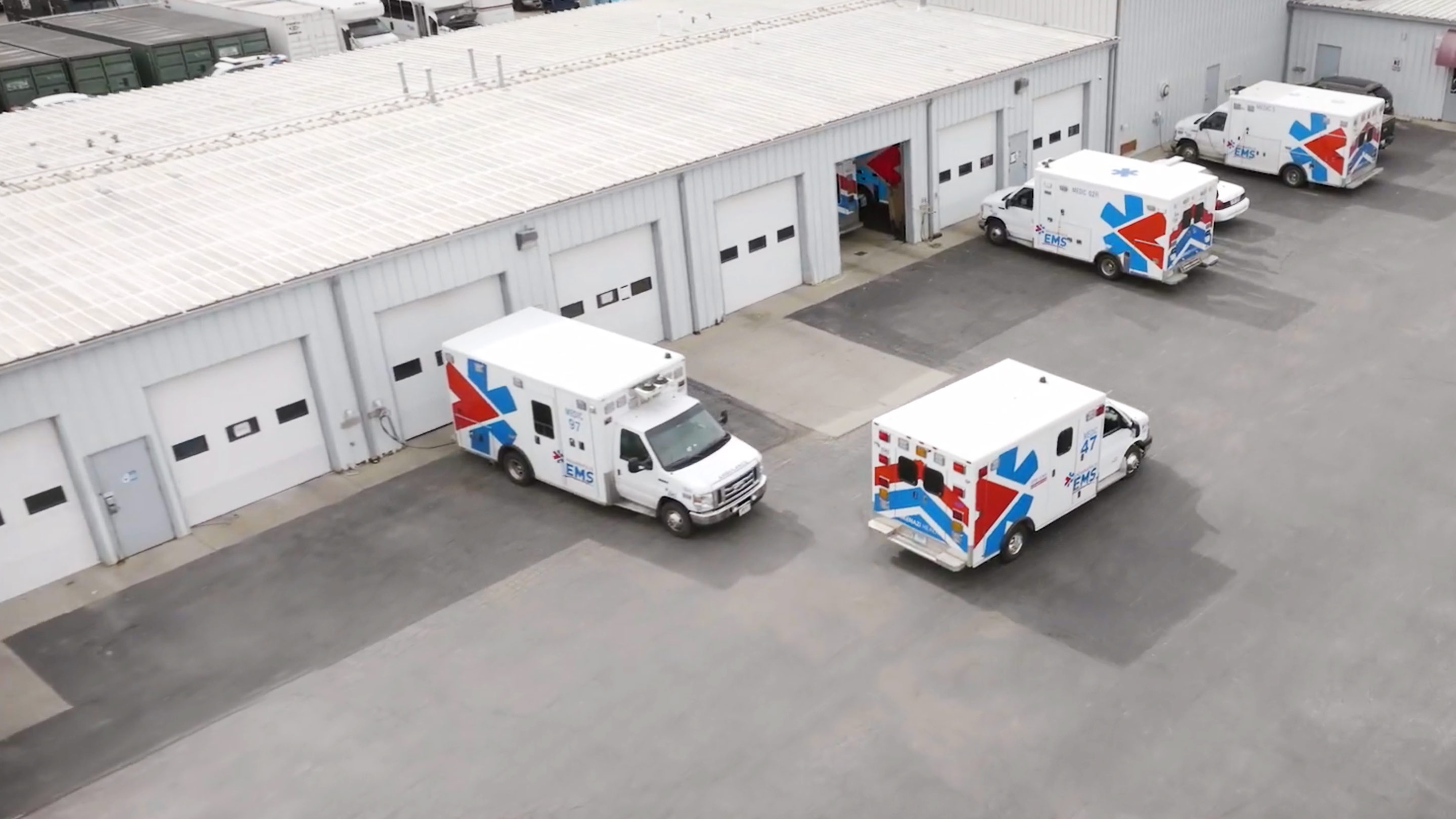
Indianapolis EMS: Serving the community while maintaining the fleet
Choosing a solution that would help keep their first responder teams and their fleet of ambulances safe was a number one priority for Indianapolis EMS.
Public safety fleet tracking resources
Police fleet management relies on real-time visibility. Fleet monitoring software can optimize performance to help increase the productivity, safety and compliance of emergency services. Explore resources for first responder fleets.
Commonly asked questions
Which public safety vehicles does Geotab work with?
Geotab works with different public safety agencies and their vehicles around the world. We support vehicles in policing, fire response, ambulance operations and more. To learn more about Geotab’s police and first responders solution, request a demo today.
How can police fleet management software help improve police services and public safety operations?
Telematics technology can help keep your community safe by helping you utilize your fleet's data for operational insight based on actual movements. Additionally, police fleet management software can help you monitor driver and public safety with behavior reporting and coaching, plan optimal routes to respond to situations faster and reduce costs.
How can police fleet management improve driver safety?
When your fleet vehicles are not responding to emergencies, they are driving in ordinary traffic alongside other cars. This means that keeping an eye on speeding, harsh braking and the use of seat belts is critical for the police service fleet and overall public safety. To set a positive example for the communities you assist, keep an eye on these measures. Set custom rules to disregard speeding alerts and integrate with lights and sirens systems for a comprehensive view of all your fleet operations.
What are the advantages of using telematics devices and data for a police service, fire truck or EMS fleet?
Geotab GO devices and the MyGeotab platform can help police (or other first responder) vehicle dispatchers identify the closest vehicle to a trauma or crime scene for the fastest possible response time.
Emergency services dispatchers need situational awareness to better allocate resources and protect drivers. With Geotab, emergency service resources can coordinate and communicate with each other quickly and easily, using accurate, near real-time data. Whether at the municipal, state or federal level, the integration of telematics data can be pivotal for the office of emergency response and boost the collaboration between first responders on duty.
Collisions and vehicles rendered inactive can be detected instantly. As such, additional personnel can be sent to assist an officer, EMT, or fire rescue team that needs assistance. Vehicle maintenance requirements can help many first responder teams to minimize their fleet vehicle downtime by identifying maintenance requirements and diagnosing minor mechanical issues before they become serious problems.
Can a GPS tracker be used in police vehicles or other public safety vehicles, and what integration options exist?
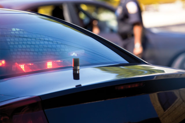
Yes, Geotab GO devices can be installed in police services vehicles, synced with a GPS device and used for all of the services the police department has subscribed to. The GO device can be integrated with third-party solutions to monitor activities like light bar and siren usage, cabin temperatures and engagement with gun racks via IOX expansion.
Ready to work with a trusted police fleet management software provider?
From discovery to product implementation, Geotab is there for your department. Contact us to learn more about how our platform can help you make smarter decisions and achieve safer streets.