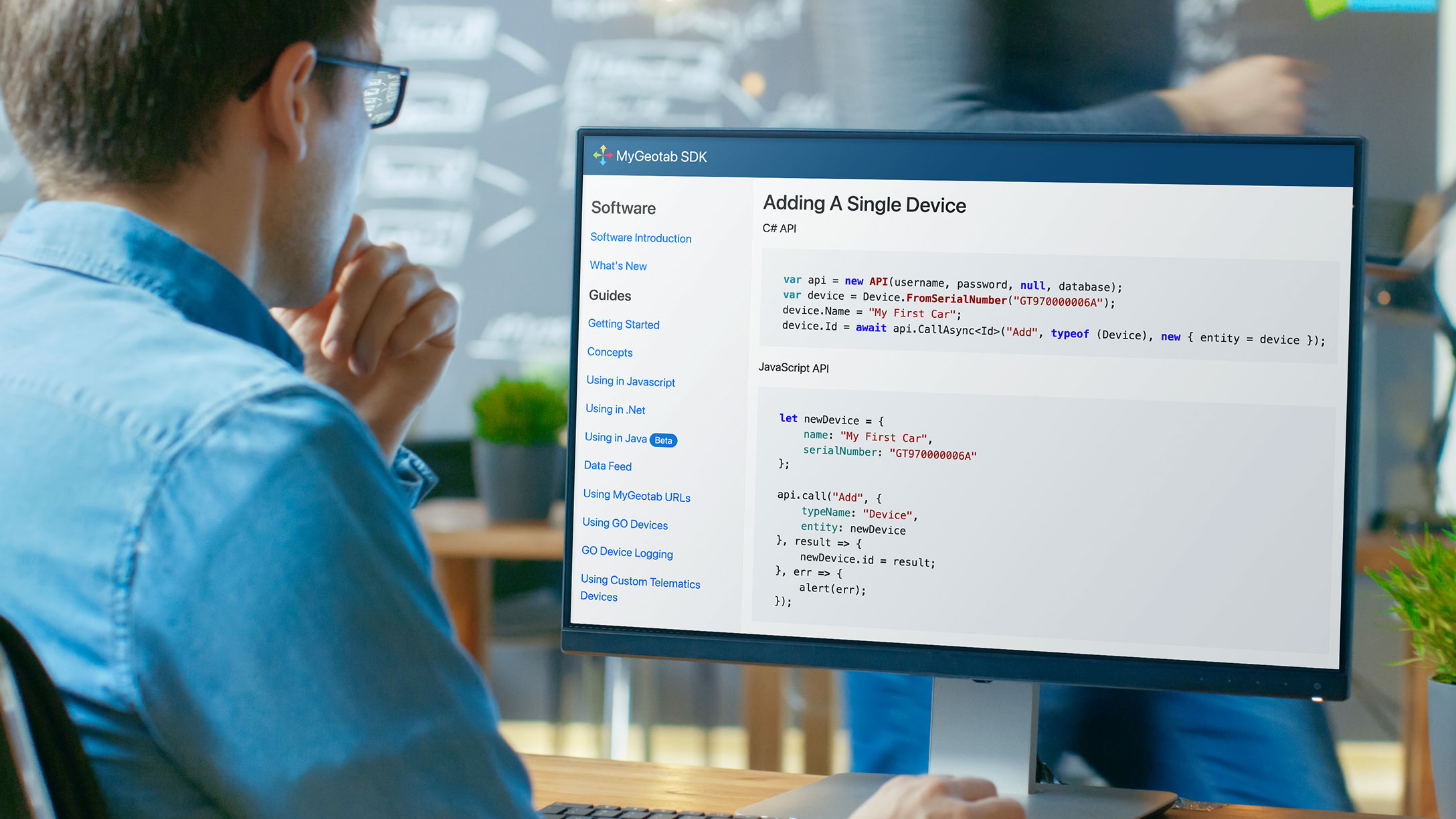
Getting to know the MyGeotab SDK
Learn how to use the MyGeotab SDK to extend the functionality of your fleet management software.
By Geotab Team
Oct 25, 2022

Analysing fleet data is an important part of an overall fleet management strategy. Regardless of the size of your fleet operation, it’s important to know that you don’t need to have a background in software development to utilise data and analytics tools.
At Geotab, we understand that it is essential for every fleet to be provided with the tools necessary to process their fleet data and take advantage of additional fleet software features. In this article, we’ll outline some basic details about the MyGeotab Software Development Kit (SDK) to get you started.
What is the MyGeotab SDK?
A Software Development Kit, or SDK, is a set of software development tools that allows for the creation of applications. At Geotab, it can be thought of as a platform that helps people extend the functionality of MyGeotab.
The MyGeotab SDK contains many Application Program Interfaces (APIs). The APIs are used to interact with the data seen in the MyGeotab application such as Devices, Trips, GPS data, Engine Data and much more. They allow you to add, update and remove data from the system using a source other than the MyGeotab application. They are also securely exposed via HTTPS – the web standard that is the foundation of data communication for the World Wide Web. Using this web standard means that the SDK can be utilised through a wide variety of systems.
The MyGeotab application is built using the SDK to provide a robust, usable and scalable platform. The SDK is designed for Resellers, Customers and Partners who use MyGeotab and are looking to simplify or automate processes to add value, increase efficiency or add unique functionality to support their businesses.
The SDK can also be used to create phone and tablet apps, integrate third-party software, create MyGeotab Add-Ins, automate tasks or create complex custom reports.
SDK tools
The SDK contains a wide array of tools to help developers quickly understand its use and get started with their first project, including but not limited to:
- Documentation that outlines how the SDK works
- A reference of the available SDK methods and objects
- Samples of projects and ready-to-use utilities built within the SDK
- Detailed information on devices, including how and when they log data
- Support through our developer forums
These tools are all available online.
What can you do with the MyGeotab SDK
How you use the SDK is defined by what your business needs are. There are many ways to tap into the rich data provided by the SDK, such as automating processes, building data feeds, integrating into websites and applications and creating Add-Ins.
Automating processes
SDK samples are tools to automate processes like adding new devices to a database, importing zones or adding users. These tools are ready to use “out of the box” and can help easily automate everyday processes.
SDK code samples illustrate how to perform common tasks, such as showing the current location and driving status for all vehicles, getting the odometer and VIN for all vehicles in a group or retrieving Zone Stop exceptions in the last year. These samples are a great starting point and can be modified to suit your specific needs.
Building data feeds
The SDK also offers methods to get a constant stream of raw data called a “data feed.” Anything that gets added to the system can be retrieved by your application. This is especially useful if you want near real-time updates of GPS data, trips, engine data and more, to evaluate on the fly or to add to your own system. This process is well documented in the SDK with code examples that make it easy to get started using a data feed.
Integrating into websites or applications
The MyGeotab application was designed in a way that allows every page you see to be integrated into your own web application. Within the left navigation buttons and the top header there is a content section, which has a unique URL. By using this URL you can effectively embed the inner page into an existing web application.
For example, if you wanted to show the MyGeotab device list in your existing application, you can simply embed that inner page as desired, leveraging the hard work of Geotab developers to quickly get the same functionality.
Adding value with Add-Ins
When creating Add-Ins for MyGeotab, these HTML and JavaScript pages are embedded in the MyGeotab application and contain custom features and functionality that can be tailored to your needs. Through your Add-In, you are provided with easy access to the MyGeotab API. Data can also be imported into the Add-In by using APIs from other sources, such as a mapping provider, accounting software or your own custom API.
Examples of what you can do with an Add-In:
- A heat map of where people drive during work hours
- A custom report with interactive charts
- Vehicle health and engine code monitoring
Add-Ins to MyGeotab can be thought of as what apps are to a mobile phone or a tablet; the possibilities are endless.
Discover more about the MyGeotab SDK
To learn more, visit the MyGeotab SDK GitHub page for guides, references, code samples and other data and analytics resources.
See also: Intro to the Geotab software development kit (SDK video)
Subscribe to the Geotab Blog
The Geotab Team write about company news.
Table of contents
Subscribe to the Geotab Blog
Related posts

How to reduce the carbon footprint of your current vehicles
November 5, 2025
2 minute read

Building safer bus operations with customisable telematics
November 3, 2025
2 minute read

How predictive maintenance helps bus workshops cut downtime and costs
November 3, 2025
2 minute read

Geotab’s new fleet Sustainability Center simplifies fuel and emissions reduction
June 13, 2025
3 minute read

What Is fleet management? A complete guide for fleet managers
June 13, 2025
5 minute read
.png)